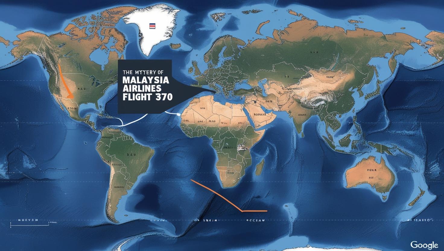
Malaysia Airlines Flight 370 (MH370) is one of the biggest mysteries in air travel history. It disappeared on March 8, 2014, while flying from Kuala Lumpur to Beijing. Even after years of searching, the plane’s location is still unknown. This tragedy has left families and experts looking for answers. The use of modern technology, like Google Maps, has brought a new way to search for the missing plane. Many people have used this tool to explore and share their theories.
The Disappearance of MH370
Malaysia Airlines Flight 370 was a normal flight with 227 passengers and 12 crew members. The plane was a Boeing 777, known as a safe and reliable aircraft. About an hour after taking off, the plane lost contact with air traffic controllers. It changed its flight path and disappeared from radar screens. The search for the plane became one of the biggest in history, covering large areas of the South China Sea and the Indian Ocean.
Many questions remain about how a modern plane could vanish. Investigators faced many problems because there was little information and some reports did not match. Families of the passengers felt pain and sadness as they waited for answers about their loved ones.
How Google Maps Became Involved
As the search for MH370 continued, people around the world began using Google Maps to try and find clues. Google Maps is a tool that shows satellite pictures of the Earth. Although it is not made for live tracking, it allows users to look at detailed images of oceans and faraway places.
Some users said they found objects that looked like parts of the plane on Google Maps. These discoveries were shared online, and many people talked about their ideas and findings. Most of these sightings were not real, but they showed how eager people were to help. This also showed how powerful technology can be in big searches.
Public Theories and Discoveries
Google Maps became a way for people to share their ideas about what happened to MH370. Some users thought the plane might have crashed in thick forests, remote islands, or deep underwater. Others believed in conspiracies, like secret military actions or hijackings. These ideas were not proven, but they showed how curious people were about the mystery.
A few Google Maps discoveries caught the world’s attention. For example, in 2022, a user said they saw something shaped like a plane underwater near Cambodia. This discovery led to many discussions among experts and the public. However, experts explained that satellite images can be tricky, as they often show old or unclear data.
Challenges in Using Google Maps for Searches
Google Maps is a useful tool, but it has limits for searching for MH370. Satellite images on Google Maps are not updated in real time. The wreckage of the plane might have moved because of ocean currents. The pictures also lack enough detail to clearly show small objects, like parts of a plane.
Searching the vast ocean is another big challenge. The ocean floor is very deep and uneven. Objects can sink or be covered by sand and dirt over time. This makes it very hard for Google Maps to give definite answers. Despite these problems, the tool has kept the public interested in the search.
Experts’ Views on Google Maps Searches
Aviation experts and search teams understand why people use Google Maps to help. They say it is good that the public wants to stay involved. However, experts also say that scientific methods are more effective for finding MH370. Tools like underwater robots and sonar equipment can scan the ocean floor better.
Some experts think public searches with Google Maps raise awareness about MH370. They believe unexpected discoveries might happen because of public involvement. However, they warn that false discoveries can waste time and resources. This can delay important official efforts.
How Technology is Changing Search Efforts
The case of MH370 has shown how technology can help solve mysteries. Besides Google Maps, other advanced tools like artificial intelligence (AI) and satellite tracking are being used. AI can study large amounts of data quickly and find patterns that people might miss. Satellite images are also getting better, with more details and frequent updates. These improvements give hope for better searches.
The interest of the public, supported by tools like Google Maps, shows how technology allows people to take part in global efforts. Experts agree that combining public interest with advanced science is the best way forward.
The Human Side of the Mystery
The families of MH370 passengers are at the heart of this tragedy. For them, the search is personal and emotional. Many families have tried using Google Maps to look for signs of the plane. Their actions show their love and determination to find answers.
Some families have criticized the official investigations. They want more honesty and effort from the authorities. Their voices remind the world that MH370 is not just a puzzle to solve. It is a human tragedy that needs closure.
Why MH370 and Google Maps Matter
The use of Google Maps in the search for MH370 shows how ordinary people can help with big problems. It also shows what technology can and cannot do when solving real-world issues. While the mystery of MH370 is still unsolved, the search has inspired people to work together and create new ideas.
The story of MH370 and Google Maps teaches lessons about curiosity, strength, and the role of technology. It reminds us that even in hard times, people will keep looking for the truth.
